Trusted design professionals since 1995
What’s Covered on This Page
- Aging Calgary Facilities Often Run on Outdated Drawings
- What a Complete Existing Facility As-Built Package Includes
- When a Full As-Built Scan Isn’t Necessary
- From Site Scan to Stamped Drawings: How the Process Works
- Checking As-Built Accuracy Before You Design Around It
- Do you handle facility as-built projects outside downtown Calgary?
- What should I expect when your crew arrives to scan our facility?
- Why do so many older Calgary facilities need updated as-built drawings?
- Do I need a full facility scan or just a targeted capture?
- How long does an as-built project take once scanning starts?
- What files and drawings do I get back at the end?
Aging Calgary Facilities Often Run on Outdated Drawings
Existing Facility As-Builts in Calgary and across Alberta close the gap between what a drawing set shows and what is actually bolted, welded, or piped into a facility. Many lease sites and process facilities around Calgary went into service in the 1980s and 1990s, and their drawing sets have been hand-redlined so many times since that the original geometry is barely traceable anymore.
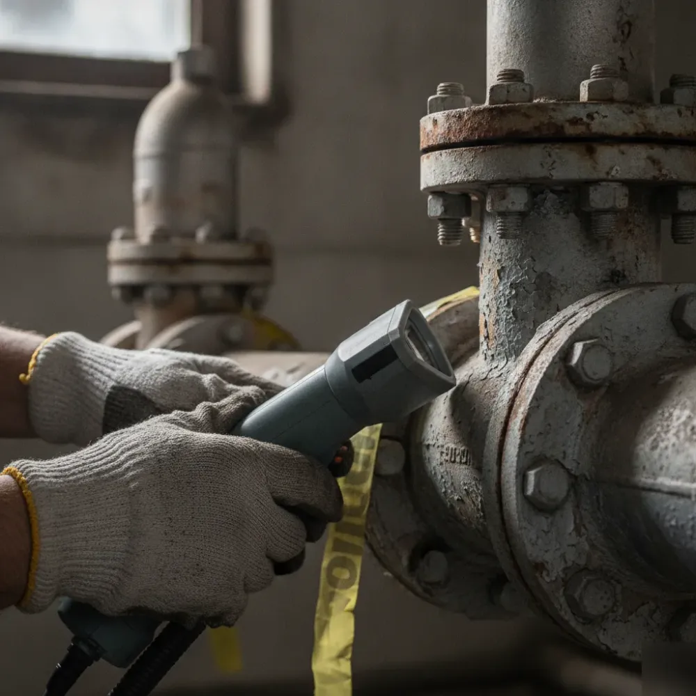
We run into this constantly on legacy battery sites and compressor stations, where a tie-in that looked simple on paper turns into a field fit-up problem because a pipe run was rerouted years ago and never documented. That’s the core issue this service solves: mismatched drawings create rework, and rework eats into both schedule and budget on every project that follows.
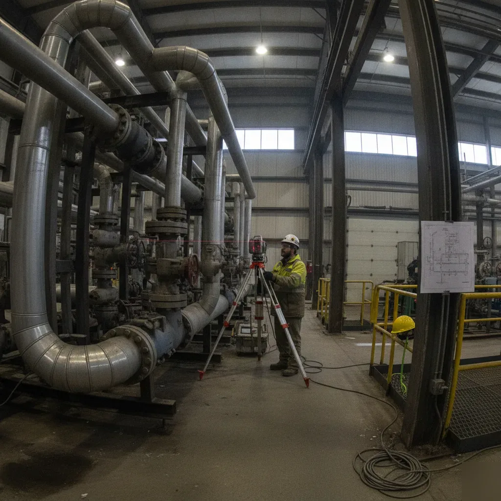
Our process starts with 3D laser scanning of the facility, capturing structural steel, piping, tanks, and equipment as a dense point cloud. From there, our licensed engineers turn that scan data into usable engineering documentation.
- Registered point cloud data (E57, RCP) for direct reference and clash checking
- STEP or IGES files for mechanical geometry and equipment reverse engineering
- DWG drawings for updated plot plans, piping, and structural steel documentation
- STL output when a component needs to move from scan data to physical fabrication
- Engineer-stamped drawing packages for design validation and sign-off
This isn’t a redraw exercise. It’s a verification exercise, backed by measured data and reviewed by a licensed engineer before it ever lands in your design files.
What a Complete Existing Facility As-Built Package Includes
An existing facility as-built package has to hold up against real construction tolerances, not just look accurate on a screen. We build ours around a registered point cloud, then convert it into deliverables your team can actually work with. A raw scan file alone won’t get a pump skid re-piped correctly, so we take it further.
Every project starts with laser scan data captured across the site: tanks, piping runs, structural steel. We register that data to a known control network, so a plot plan for one lease site lines up with grading data collected on another visit months later. That consistency matters for Calgary and Alberta operators managing multi-phase brownfield work.
- Registered point cloud in E57 or RCP format for direct use in your own scanning software
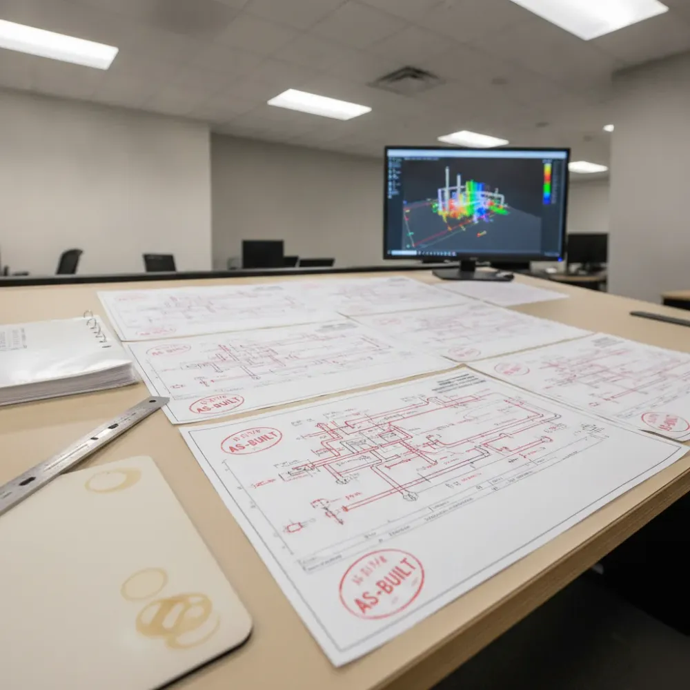
- As-built 2D drawings in DWG covering plot plans, piping, and structural steel
- 3D CAD models in STEP or IGES for mechanical and skid design work
- STL output when a physical component needs to move toward 3D printing or fabrication
- Stamped, engineer-reviewed drawing sets for piping, structural, and civil grading scopes
Scan accuracy on these projects typically holds within a few millimeters across a facility footprint, which is tight enough for prefabrication planning on tank and vessel work. That precision is what lets a fabricator cut structural steel offsite with confidence instead of field-fitting and reworking connections on site.
Our in-house licensed engineers review the converted models against the source point cloud before anything ships. That step catches the gap between raw scan data and a usable drawing set, the kind of gap that causes rework months later during construction. Every package we deliver carries that engineering sign-off, not just a file transfer.
When a Full As-Built Scan Isn’t Necessary
Not every project needs a full existing facility as-built. If you’re only replacing a single valve, adding one small tie-in, or verifying one dimension on a skid you already have drawings for, a full site capture is more scope than the job calls for.
A full facility as-built earns its cost when the existing drawings are missing, outdated, or contradicted by field conditions across multiple systems. That’s a different situation than a spot check on one line or one structural member.
- A single component swap where the surrounding structure and piping are already well documented
- A small tie-in modification with clean access and no conflicting field conditions
- A verification check on one dimension, not a full reconciliation of drawings against the facility
- A facility with recent, accurate as-builts from a prior scan, where only the change needs documenting
We see this come up often on smaller lease sites and single-unit compressor packages. The client assumes they need a full facility scan, but most of the time it’s really one targeted capture and a drawing update. In those cases, we’d rather scope it correctly than sell you more than the project needs.
If your project touches multiple systems, ties into piping you haven’t scanned before, or feeds a stamped design package, that’s where full facility as-builts earn their value. We can help you figure out which side of that line your project falls on.
From Site Scan to Stamped Drawings: How the Process Works
Existing Facility As-Builts for Calgary sites move through a defined sequence, not a single scan-and-deliver step. Our team treats the field capture as the raw input, the modeling stage as the translation, and the engineering review as the checkpoint that turns geometry into a usable drawing set.
- Field scanning of the facility using 3D laser scanning, capturing structural steel, piping, tanks, skids, and site grade at accuracies suited for construction-level documentation.
- Registration and cleanup of the point cloud data, exported in formats such as E57 or RCP for downstream use.
- Point cloud to CAD conversion, where our engineers model structural members, piping runs, and equipment against the scan data rather than field notes.
- Cross-referencing the model against existing P&IDs, plot plans, or piping isometrics where those documents exist, to flag discrepancies early.
- Drawing production in DWG, with 3D piping drawings and 3D structural steel drawings built to reflect true field conditions, not design intent.
- Engineering review and stamping by our licensed engineers, confirming dimensional accuracy before the package goes back to the client.
This sequence matters most on older Calgary industrial sites, where decades of tie-ins and field modifications mean the original drawings no longer match what’s physically installed. Skipping the point cloud stage and jumping straight to hand-measured sketches is where most as-built errors start.
Because the final drawings carry an engineering stamp, they can support permitting, tie-in design, and prefabrication decisions with a level of confidence that unstamped field sketches simply can’t provide.
Watch Our Video
See How We Handle Existing Facility As-Builts in
Masters-3D
Checking As-Built Accuracy Before You Design Around It
A point cloud is only useful if it matches the physical facility. That sounds obvious, but it’s the step most rework traces back to. Before we hand off an as-built package, we run it through a verification process, not just a data export.
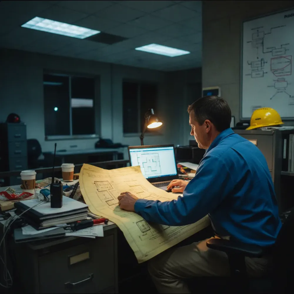
Field checks come first. Our team spot-checks scan data against known reference points on site, pipe centerlines, structural steel elevations, tank shell dimensions. When something doesn’t align within tolerance, we flag it before it ever reaches a CAD file.
Here’s the part clients don’t always expect: a licensed engineer reviews the as-built model before it’s released. That review isn’t cosmetic. It’s checking dimensional logic, connection details, and whether the geometry actually supports the design work planned around it.
- Point cloud alignment checked against control points on site
- Structural and piping dimensions cross-referenced with field measurements
- Model reviewed by a licensed engineer for dimensional and structural logic
- Deliverables issued as point cloud, E57, STEP, IGES, or DWG depending on downstream use
- Discrepancies documented and resolved before the file is released for design
Skip this step and you’re designing a pump skid or piping tie-in around geometry nobody confirmed. We’ve seen fabrication delays that started with an unverified as-built, one missed elevation, and the whole spool didn’t fit. That’s the failure this process is built to prevent.
So the accuracy check isn’t extra work tacked onto the scan. It’s what makes the as-built usable for stamped, validated design in the first place.
Frequently Asked Questions
Common questions about Existing Facility As-Builts
Do you handle facility as-built projects outside downtown Calgary?
Yes, we work on oil and gas, industrial, and infrastructure sites across Alberta, not just inside Calgary city limits. A lot of our work happens on lease sites and compressor stations well outside the core. Distance from downtown doesn’t change how we scope or run the scan. What matters more is how many systems on your site need capturing and how outdated the current drawings are, since that drives the scanning plan more than location does.
What should I expect when your crew arrives to scan our facility?
Expect our team to set up 3D laser scanning equipment and walk the site capturing structural steel, piping, tanks, and equipment as a dense point cloud. This runs alongside normal facility activity in most cases and doesn’t require shutting systems down. We register the scan data to a known control network on site, so it lines up correctly with any future visits. You won’t get a finished drawing that day. The modeling and engineering review happen after we leave with the scan data.
Why do so many older Calgary facilities need updated as-built drawings?
Older Calgary facilities need updated as-builts because decades of hand-redlined changes have made the original drawings unreliable. Many lease sites and process facilities around Calgary went into service in the 1980s and 1990s, and their drawing sets have been marked up so many times the original geometry is hard to trace. We see this often on legacy battery sites and compressor stations, where a pipe run was rerouted years ago and never properly recorded, causing surprises during tie-in work.
Do I need a full facility scan or just a targeted capture?
Not always a full scan. If you’re swapping one valve, adding a small tie-in, or checking one dimension on a skid with good existing drawings, a targeted capture is usually enough. A full existing facility as-built earns its value when drawings are missing, outdated, or don’t match field conditions across multiple systems. We regularly help clients scope this correctly instead of selling a full site capture when a single targeted scan and drawing update will do the job.
How long does an as-built project take once scanning starts?
Timeline depends on facility size and how many systems need documenting, but the process always follows the same three stages: field scanning, modeling, and engineering review. Field scanning captures structural steel, piping, tanks, and site grade. Our team then converts that point cloud into DWG, STEP, or IGES files. A licensed engineer reviews the converted models against the source scan before anything ships, which is the step that catches errors before they reach your design files.
What files and drawings do I get back at the end?
You get a registered point cloud in E57 or RCP format, plus DWG drawings for plot plans, piping, and structural steel. Depending on your project, we also provide STEP or IGES files for mechanical geometry, STL output if a component needs fabrication, and stamped, engineer-reviewed drawing sets. Every package includes that engineering sign-off, so what lands in your hands has already been checked against the original scan data, not just converted and sent.
Recent Comments